Hike #2
We scheduled a full day off between hikes, enabling a few scenic drives and visits to other towns. With our first big hike behind us, we took a relaxing drive through the mountains, heading south from Sipapu to Mora and Las Vegas. We have visited Mora once before, and wanted to do so again. Largely it is a small Hispanic mountain town that time seems to have forgotten. Our main interest in coming here was to revisit the Mora Valley Spinning Mill and Coffee Barn. This is a beautiful shop, with locally produced and manufactured (by hand) woolen and alpaca goods. Deb ended up buying a winter hat and gloves. Mora is only about half an hour from Sipapu, following a highly scenic drive. The town itself is surrounded by unique mountains. Half an hour south of Mora is Las Vegas (NM), a much larger town with a train station and interstate access. The town straddles the mountains to the west and the Great Plains to the east. We visited the Old Plaza here once again (it had been many years), greeted the Southwest Chief at the Amtrak station, and had lunch at El Fidel, located near the station and within a working, historic hotel.

One does not need to hike to enjoy the autumn splendour of NM. The drive to Mora from Sipapu crosses a high mountain pass before descending into the Mora Valley. This photo looks back at the pass we crossed on our way south.

Hermit Peak looms over Las Vegas, NM. There is exciting hiking to be done in this area, which remains unexplored by us.

Southwest Chief pulls into Las Vegas station, heading west. We have passed through on the Chief twice westbound and twice eastbound, but this was our first "outside" station visit to Las Vegas.

Early moonrise, as seen from our balcony at Sipapu (Apartment 9b).
 Friends came to visit us on our balcony, too. Even more often when we began handing out peanuts.

HIKE #2: South Boundary Trail: 7.9 miles; 7200'-9215'; 6 hours: This hike was a bit longer than the first one, and involved more elevation gain. However, last hike we had begun at 9200', and today we ended at that elevation. This hike begins only 2.8 miles west of the main Plaza in downtown Taos, so it is a busy one. Bicycles were allowed, but not hunters. We saw three bikes all day, and two of them passed us while we were at our off-trail day camp. We did meet about 10 hikers, and ended up chatting and mostly walking back down afterwards with two young women. We were in no rush to get started, enjoying a leisurely breakfast at our cabin, but were climbing by about 10 am. Much of the time we were in the pinon-juniper belt, with the landscape dominated by these two types of trees. The trail was very good, though rocky in places. It was a steady uphill pull, with some sections becoming very steep. At about the 8500' level, ponderosa pines took over the forest, along with other mixed conifers. There were aspens near the summit. This was not a mountain climb, though stupendous views opened up early on. We hiked to the junction with a major trail at the 9200' level, found a place to relax, and enjoyed our time aloft.




200' contour map of Hike #2.

My source of drinking water today was the Rio Fernando. A small
footbridge crosses the Rio from the parking lot, and the trail begins.
The trail follows the river a short distance before it begins to climb. It felt like Lothlorien!

Deb gets ahead of her photographer on the South Boundary
Trail.

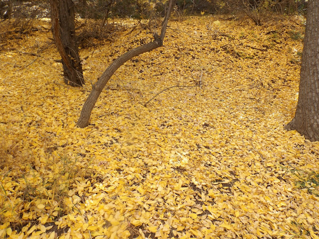
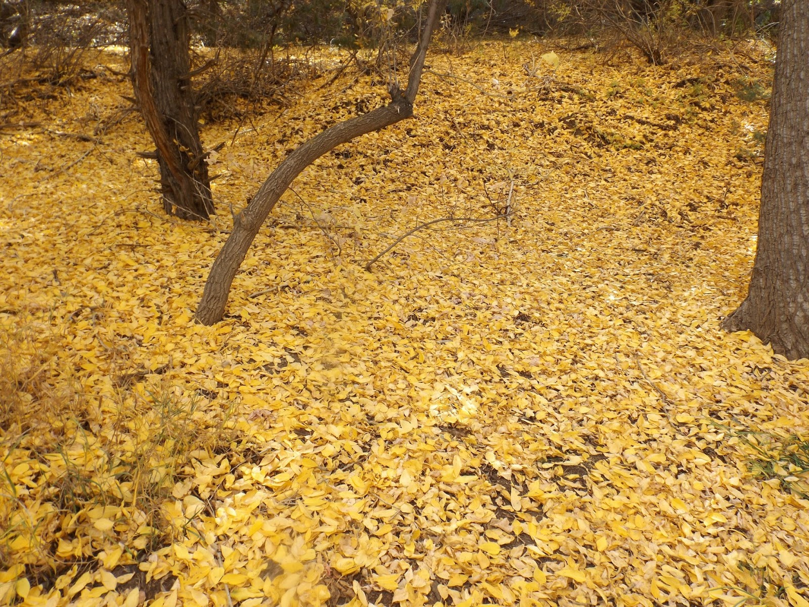
River of Gold!! Once we gained a bit of elevation, we could see the cottonwood
trees along the Rio Fernando, and also Hwy 64. Looking east.

Aspens in the high country!

Wheeler Peak from our day camp. It is the peak on the far left of centre, way back. Our view today was much closer than from Hike #1. It was hard to believe we would be attempting to get up that mountain in only two days. My knees felt all wobbly.

Deb at our Hike #2 high point and day camp. Wheeler Peak in back left sits 4,000' higher. It kept beckoning to us.

Looking northwest back towards Taos. The thin, black, horizontal line in the mid-distance is the Rio Grande Gorge.

Interesting clouds above our trail.
After the hike we went back into Taos for coffee. Then, after a stroll round the plaza, we went for dinner at Eske's Brewpub. Their green chile beer and green chile enchiladas are pretty hard to beat. And there is always lots of food left to take home. Next day we came back to Taos, visiting a different brewpub. We also made a major art purchase at our favourite gallery, a stone knife made in prehistoric fashion by one of the masters of the trade. I will try and include a photo of it in the third and final blog entry...

This place had over 20 taps--I managed to try three. Hoping to return!!

Pooh and I watch for honey bees in Taos Plaza.

Deb heads towards Taos Plaza.

Even the sewers are worth checking out in Taos!

Taos Mtn., seen from downtown Taos, NM.
The third and final entry in this series will describe our third and final hike, the "Bucket List Hike" to Wheeler Peak. Hope you come back!
Mapman Mike
To be Cont'd...


