This is Part 3 of a series. To begin at Part 1, scroll down or click 'older posts'.
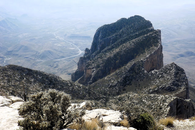
The Texas State highpoint is Guadalupe Peak, in Guadalupe National Park. The hike to the top is 8.6 miles return, with an elevation gain of just over 2900'. It is a knee breaker and a foot cruncher, one of the three most difficult hikes I have ever undertaken. Luckily it is also a highly scenic trail, so that no matter where one stops to gasp for air, the views are remarkable. At 8751', it is hardly a high mountain, at least by New Mexico comparison. But it towers more than 5,000' above the plain and salt lakes below. Altitude was not a problem for me until I reached the 8,000' level. Then the breathing became even more difficult, and my short breaks on the upward bound portion of the hike became a bit longer. The trail is rocky and very hard on hiking boots. It is also very steep, especially the first 1.1 miles. The final push to the summit is also steep, and about 0.5 miles long. On the way down the knees really take a beating. I was fully prepared to hike part of the way, enjoy lunch and the views, and then come back down. I never really realized just how stubborn I am until this hike. It took me 3 1/4 hours to reach the summit, where I stopped for 30 minutes. There were a few people up top with me, and I met more coming up on my way back down. Overall, it is a spectacular but difficult hike. However, all the training paid off. I expected the worst next day, but actually I was fine!
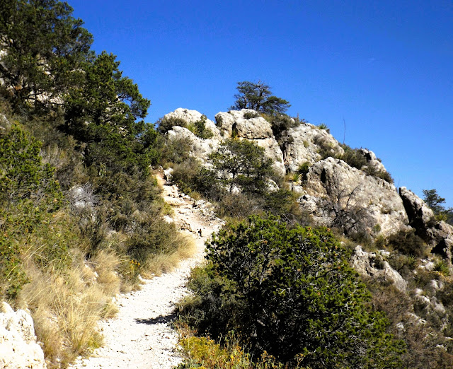
Near the start. That peak way up on the right would haunt me all the way up. I had to actually get higher than it. Rather a daunting task from below.
Looking back to the parking lot, now far beneath me, and some switchbacks I had done a very long time ago.
...and sometimes downward. Background top left shows the already hiked trail descending to a bridge across a chasm, before climbing again. Finally I am on the correct mountain.
This is a photo from many years ago, taken from the salt lakes looking up. Guadalupe Peak is hidden in clouds. El Capitan sticks out on the far right.
The Guadalupe Mountains were once a coral sea. At my shady lunch spot I found some fossilized coral!
From Google Earth, looking at my hiking path to Guadalupe Peak from the mountain across the valley.
DEB'S PHOTOS
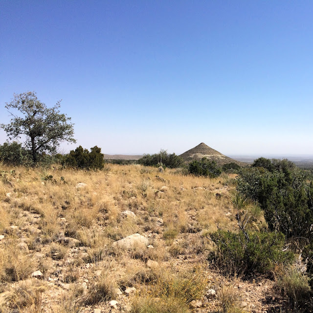
Deb chose lower elevation hikes today, and explored many different areas of the park. Here are some of her photos from her walks.
Mapman Mike


No comments:
Post a Comment