Friday, 1 November 2024

New Mexico Trip #39, Part 2: Texas Hiking, and NM Arrival

This is Part 2 of a series.  To begin at Part 1, scroll down.
 
 So far all of the hiking had been just warmup ones, to keep our blood circulating and our muscles from seizing up on our long drives.  It was time for the first of the 'big' hikes.  We have always zoomed past Amarillo, a mid-sized Texas city sitting in the middle of the very flat Panhandle.  But I had always wanted to stop and see Palo Duro Canyon, and this was our chance.  The canyon is the second largest in the US, and is a state park.  The park is filled with campgrounds, as well as hiking, biking, and horseback trails.  It is a short drive south from Amarillo.
 
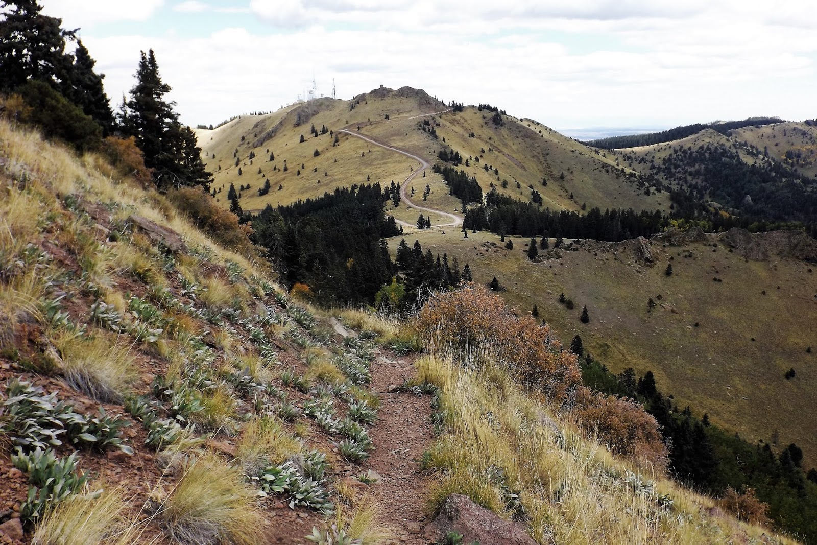
We had stayed at a hotel in the south end of the city, and so we arrived at the park early Monday morning.  The plains seem endlessly flat, and then suddenly there is an enormous canyon.  After paying our fee we drove down to my trailhead, the Rock Garden Trail.  The trail begins at the road at the bottom of the canyon, winding its way up to the top of the cliffs, and back the same way.  I ended up hiking 5.5 miles, and gaining 774' in elevation.  This is exactly the kind of hike I had trained for, and though I found it challenging enough, it was well within my grasp.  Both Texas hikes featured panoramic views throughout the hike.  I was always stopping to look around me, often to catch my breath, but also to take photos and to marvel at what I was seeing.

It isn't called the Rock Garden Trail for nothing.  Nature's gardens are usually the best, and there were some very pretty ones here.  Cactus abounded, mostly prickly pear.  On my descent, which I took a bit too quickly at one point, I slid a bit, then went over on my side.  I landed directly on a large prickly pear.  A lot of pain ensued, and we were picking out tiny cactus spines even on our return home two weeks later.  This is a hike I would happily repeat, minus the cactus slide, so if you want to go, let me know!
 
Rock Garden Trail,
from our GPS route on Google Earth.

The canyon is wide and deep, with colourful rocks. 


One of many rock gardens along the trail.
 
At the top of the canyon, looking back across to my trail.
 
View from the top, from my lunch stop. 
 
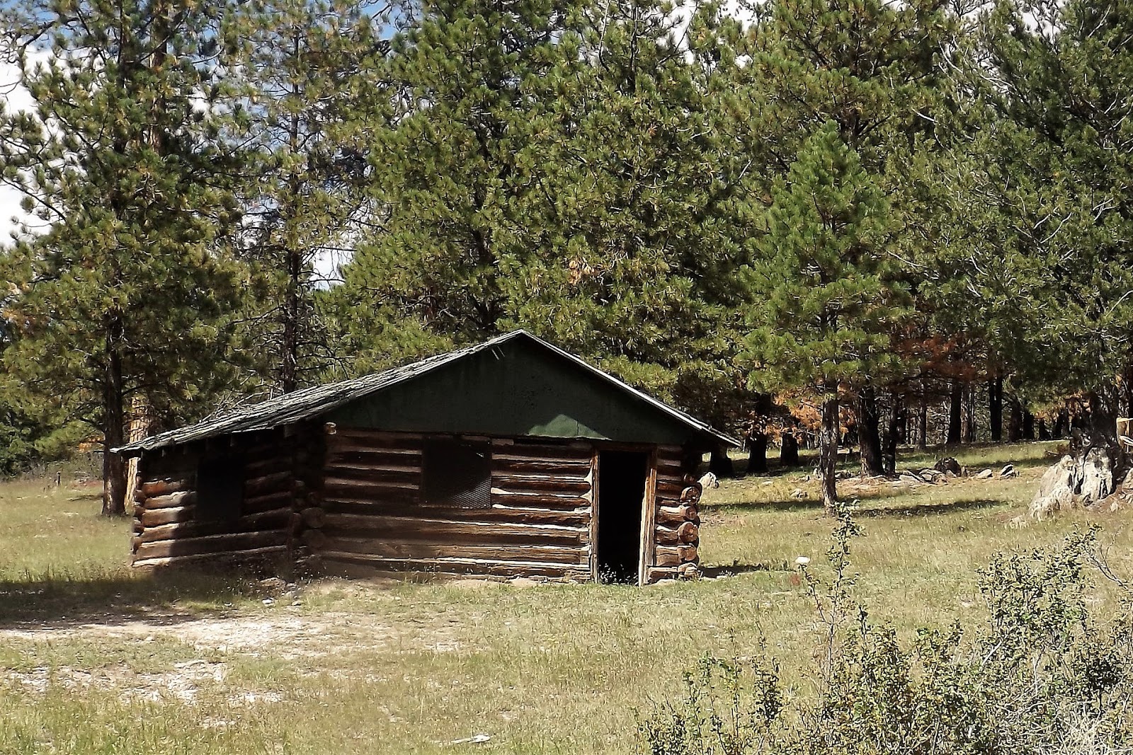
While I enjoyed my climb to the top, Deb remained below and did trails along the canyon bottom.  She did pretty much the same mileage as me, without the troublesome elevation gain.  Our altitude here was about 3,000' at canyon bottom.  Here are a few of Deb's pics, using her phone.


Three images from Deb's wanderings in the canyon. 
 
We left the canyon area in early afternoon, with a drive to New Mexico to look forward to.  One of us was hurting a lot, and still full of cactus spines.  Just outside the gate of the park is a commercial establishment called Sad Monkey.  Not only did they have beer taps and great beer in their fridges for purchases, but even more importantly they had fine tweezers for sale!  Nurse Deb was to be very busy at our first New Mexico hotel. 

Clovis, NM isn't too much different from many of the Texas towns we passed through.  This is cattle country, and there are some very depressing scenes as we continually passed vast holding areas filled with cattle misery and stress.  As a result, there were flies everywhere, and we always seemed to have a few of them buzzing around the car cabin as we drove.  There is also a smell that is never forgotten once sampled.  A brewery in Clovis that was open on Mondays was closed, so we had a sad time after returning to our hotel.  Luckily we had our own ale.  It was a bit warm from being in the car all day, but the hotel ice machine took care of that.  Vegan meals from Wal-Mart often kept us alive, usually Amy's brand.

Clovis, like Amarillo, sits on the Plains.  We were not to see any mountains in New Mexico today or tomorrow.  On Tuesday we spent a leisurely day driving south, exploring a new part of New Mexico for us.  Cattle and oil country have left permanent scars on the land, but it is still often a very pretty drive.  Nothingness surrounds one, and prairie towns pop up seemingly out of nowhere.  No sooner is one small town passed than the "prairie skyscraper" of the next town can be spotted just above the horizon.  We visited New Mexico towns I had only seen on maps, such as Tatum, Lovington, and Hobbs.  The latter is quite a large town, close to the Texas border and far from the governing body in Santa Fe.  There were plenty of Trump signs down this way.  We found one place in Hobbs that had a vegan option, so we stopped for lunch before turning our wheels westward, towards Carlsbad and the Guadalupe Mountains.  We stayed two nights in Carlsbad, before heading north, deeper into NM.

Outside the county courthouse in Carlsbad.
 
Inside the courthouse looking out.
 
We made two visits to this brewery, which was near our motel.  The second visit was after my Guadalupe Mountain hike, which is featured in Part 3.
 
Mapman Mike


Wednesday, 30 October 2024

New Mexico Trip #39, Part 1: Driving West (Again)

 The first part of this trip, as far as Oklahoma, is pretty much the same trip we usually make now when heading west.  Overnight in Terre Haute, visit the breweries there with a midway stop in Indianapolis at the Whole Foods market on 86th Street.  Then on to Springfield, for more breweries and a cafe.  Finally, the 3rd long drive to Lawton, OK.  Last year we made it as far as Lawton before Deb took a nasty fall.  We headed home after her ER visit.  This year our luck held out, and we actually made it to New Mexico, our first visit in six years!  Last year's trip can be found on my American Midwest blog.  It includes a visit to a film festival in Cincinnati.
 
This year we left on a Thursday, returning home two weeks later on the Thursday, making it a 15 day trip.  We drove 4054 miles, much of it on Interstate highway, but there was enough back road driving to help balance the scale.  We arrived in Terre Haute too late to visit the Swope Art Gallery, due to heavy traffic and a lot of road construction.  We headed directly to Afterburner Brewery, and then on to Terre Haute Brewing, where I began my beer collecting part of the journey.  I came home with 43 beer, and we drank four or five others in motels at night. We stayed at the nearby Quality Inn, a free stay thanks to points accumulated from staying at Choice Hotels.

We walked the next morning, our first hike of eight for the trip, along the Wabash River.  It was to be mostly a very sunny trip, and our first walk felt good.  The river was running low, a trend we were to find across the Midwest.  After our 1.8 mile walk we checked out of the hotel and headed further southwest.

First photo of the trip.  The Wabash River, early Friday morning.
 
Scene along the Wabash River, Terre Haute.
 
Deb walks on the Paul Dresser Wabash River Heritage Trail, Terre Haute.

I was reading Roadside Picnic, a truly amazing SF novel, on this trip.  Walking past an abandoned something or other reminded me strongly of being in the "Zone." 
 
The Mississippi River is about 540 miles from our house.  Until it is crossed, it feels as if the trip has barely begun.  Usually by noon of the second day we are battling through St. Louis traffic and making our way across a bridge from Illinois into Missouri, crossing the great river.  At this point the scenery begins to change rapidly, as one cruises into the Ozark Plateau, following it all the way into Oklahoma along I-44.  Huge hills lead to an up and down existence that more or less continues well into Oklahoma.  Autumn leaf changes were only at about 10% on our journey south, so things were mostly still green.
 
Travellers gain an hour after leaving Terre Haute, and we arrived in Springfield, MO around 4 pm.  We headed directly to Coffee Ethic, a perfect cafe in the downtown core.  I had brought the wrong hiking shirt with me, so we had to visit Bass Pro afterwards to look for one I could use.  I hike with a Columbia shirt with considerable SPF capability.  We found one for me, and were soon on our way to the first of two favourite breweries.  The Springfield Art Gallery is open late Friday till nine, but the whole thing is closed for a year for a rebuild, or something.  So we had missed out on two galleries now.  But the beer and atmosphere was fine at Hold Fast Brewery, located in a disused fire station.  The doors were open, the weather was very fine, and we enjoyed ourselves thoroughly.  We later moved on to Mothers Brewing, a very favourite stop for us.  The beer was as good as it gets, and I had my first pumpkin ale of the season!  I also stocked up on beer here.  The trunk seemed to have limitless capabilities on this trip.  Whatever we bought, we managed somehow to fit it into the trunk space.  We stayed (free) at a very fancy hotel in south Springfield, The Bradford.  We even got a welcome gift (Deb is a Gold Member at Choice Hotels) of munchies that served us well on our long drives.
 
Saturday morning it was time for another short hike, at the Springfield Conservation Nature Centre.  We walked the Long Trail, something I had done years ago solo.  This was Deb's first visit.  After hiking, we headed back to the highway, again aiming southwest.  Tonight we would be back in Lawton, OK, hopefully to have better luck hiking here than last year.
 
We followed the yellow Long Trail today, adding a loop from the Savannah Ridge Grail, also yellow.  The trails give a nice introduction to the Ozark landscape.
 

Two views along the Long Trail, Springfield. 
 
We left around 11 am for Lawton.  We stopped at Whole Foods in Tulsa for lunch and supplies.  A fine liquor store next door furnished me with more ales to pack into the trunk.  The highway was not as busy as we entered Oklahoma, which has toll roads.  We used to have to stop and pay at a booth, but now we are billed electronically.  We'll see if a bill ever arrives.  On a stretch from Oklahoma City to Lawton the speed limit is 80 mph.  Traffic wasn't too bad at all.  This year we could see the Wichita Mountains while about 30 miles away.  The air was very clear.  Last year we were almost on top of them before Deb spotted Mt. Scott.  After today, we would be off the interstate system for several days.
 
Day Four began by hiking in the Wichita Mountains National Wildlife Refuge.  We chose three short trails today, adding up to about 3.3 miles of mostly easy walking.  We did three out and back trails: Osage Lake, Burford Lake, and The Narrows.  The three trails were quite different from one another, with the first one crossing a vast expanse of prairie to reach a small lake.  The second one was more of a forest hike, while the third took us to secluded ponds with cliffs.  We were done hiking by about noon hour, and had turned and headed for Amarillo.
 
Tiny Osage Lake, our first hiking destination.

It was a cloudless sunny day as we crossed a prairie expanse to reach the lake.
 
Our walk to Osage Lake, from our GPS route on Google Earth.
 
 
Our second hike was to an overlook of Burford Lake.  Note the very low water level. 
 
Our hike to Burford Lake,
from our GPS route on Google Earth.
 
The Narrows was our third hike, leading to secluded ponds with cliffs.
 
 
Our hike to The Narrows,
from our GPS route on Google Earth.

All three Wichita Mountains hikes today.  Osage Lake on left, Burford Lake at top, and The Narrows at bottom.  From our GPS routes on Google Earth.
 
Driving west, and then northwest, towards Amarillo, TX, the mountains take a long time to dissipate into the flat, nearly featureless land that covers much of Texas and its northern "Panhandle" area.  We were in time to hit a decent coffee shop in Amarillo, and then had the luxury of spending an hour or more in the Amarillo Museum of Art.  They had some excellent displays today, including a showstopping photo exhibit called "Shades of Compassion," featuring the work of 41 photographers, several of them very well known to us and many that were not.

But the real star of the gallery today was an exhibit called "Unpacked: Refuge Baggage," created by Mohamad Hafez.  Using actual suitcases used by refugees, he built miniature dioramas depicting half destroyed houses.  It was a totally brilliant concept, and pulled off in a near genius way.  We were completely enthralled by the exhibit!


Three images from Mohamad Hafez's exhibit at the Amarillo Art Museum.
 

The museum also displayed an outstanding Indian and Asian sculpture collection.
 
 
We had worked up a powerful thirst at the museum (no cafe), and we headed to Pondaseta Brewery.  We got comfortable outdoors with a flight of ales, and I left with more beer for the trip home.  Not far from the brewery was Natural Grocers, where we went afterwards to purchase our in-room dinner.  The hotel was close to the last two stops.  We were now officially in the west, after six years of trying to get here.  Tomorrow would be a different kind of hiking, as it would be from now on.

Pondeseta Brewery, from our outdoor shady sitting area. 
 
Don't miss Part Two, with big hikes in two different parks in Texas. 
 
Mapman Mike


Monday, 5 November 2018

New Mexico Trip #38, Part 4: The Long Drive Home

We left Albuquerque on Tuesday morning, arriving home mid-afternoon Friday.  Again it was an Interstate drive, with the heavy truck volume getting worse the further east we travelled.  I'm not certain how much longer passenger cars and transport trucks can continue to share the road, but it can't be too much longer.  On Tuesday we drove to Oklahoma City, driving 536 miles.  We stopped in Amarillo for lunch, and in Shamrock, TX for coffee.  Oklahoma City is a mess of construction, with traffic jams to give one nightmares for a long time.  With Navigator Deb using live Google maps, we were able to sneak into our hotel using alternate routes without encountering any backups.  We had to resort to a toll road at one point, which cost us 45 cents.  It was worth the unplanned expense.

On Wednesday our drive was considerably shorter, at 401 miles.  We paid a visit to the Gilcrease Museum of Western Art in Tulsa.  It had been many years since our last visit.  We next stopped in Joplin, MO for a visit to a nearby waterfalls, and then went into the city for afternoon coffee.  Joplin Ave. Coffee Company was a pretty cool place, with fantastic coffee.  The city had been devastated in 2011 by an F5 tornado, with winds exceeding 200 mph.  There were 158 deaths, over 1100 injuries, and it turned out to be the costliest tornado in US history.  Driving in along the main street, there is suddenly brand new housing stretching for miles, and no mature trees at all.  Very eerie.  The main downtown area seemed okay, which is where the cafe was located.  The Wiki article makes for chilling reading.  That night we stayed in Rolla, MO, enjoying a break at Public House Brewing Co.

 Entering the Gilcrease Museum, Tulsa.

 Painting by Thomas Moran.

 Gilcrease gallery.

 Downstairs at the Gilcrease is the collection of prehistoric art.  In addition to the displays, thousands of objects are accessible in drawers, which include jewellery, sculptures, weapons, bead work, clothing, and other artifacts.

 Painting of a ceremony at Taos, NM.  Gilcrease Museum, Tulsa

 View of downtown Tulsa, from the Gilcrease Museum.

 Waterfall near Joplin, MO.

 Waterfall near Joplin, MO

Public House Brewery, Rolla, MO.  the food was also good!

On Thursday we drove 394 miles, staying in Anderson, IN, just north of Indianapolis.  We cruised into town just before rush hour, stopping at the north end Whole Foods store for dinner.  Between rush hour traffic and construction, we barely managed to get to our hotel with some sanity remaining.  Just as we pulled off at our exit for the hotel, traffic came to an absolute standstill.  We had escaped by the skin of our teeth.

Friday found us only 260 miles form home.  My third bookstore awaited, and I came out of Hyde Brothers Books well stocked, especially with books by Michael Moorcock.  I made it home with nearly 70 used books.  The shipping alone on those books, if ordered on-line, would have amounted to more than I actually spent on all the books.  We stopped in Waterville, Ohio for a vegan lunch at a downtown Mexican restaurant, then headed for home.  We were home by 3:30 pm!  Trip #38 was in the bag, and it was a great one!

Thanks for stopping by.

Mapman Mike

Saturday, 3 November 2018

New Mexico Trip #38, Part 3: Three Hikes Near Grants

Our 2nd hike of the trip (we would accomplish four of them) was to walk up the steep side of an extinct volcano.  The Cerro Americano hike was done on my 65th birthday.  It was only 3 miles, with 500' of elevation gain, but it was a treacherous climb, much steeper than any photo would indicate.  It was very loose sand and rock, with a few scattered tufts of grass to help with footing.

 Our route up and down Cerro Americano, our 2nd hike of the trip.  The summit is 8075', making it the lowest hike of the four we did.  The hike begins at 3 o'clock in the above Google Earth image, and proceeds counterclockwise. It was a strenuous hike despite its low mileage and elevation gain.

   
     Cerro American rises 500' above the plain.  It doesn't look so bad from here, but it was!  Think of a 50 or 60 storey building....

Volcanic rock near the summit of Cerro Americano.  And Deb. 

We took our sweet time ascending and descending, as a fall, once begun, would be unstoppable until the bottom.  Our GPS trail is shown in red in the map, above.  We parked Beorn and hiked northwest, passing an encampment of hunters, who were not very active this time of day.  Once at the top of the mountain we had excellent 360 degree views of dozens of other cones and volcanic outpourings, including Mt. Taylor, the largest mountain in the area and our hiking goal for Monday (today was Saturday).  The summit today was an open bowl, washed away on the north side, giving it a horseshoe shape (see our trail at the top, where we followed the rim).  We could have climbed down into the crater, but once aloft we preferred to stay up top for awhile.  It was a challenge to find shade and a log on which to sit, but we managed.  After lunch we headed back down, going almost as slowly as we did climbing.  The steepness of the slope was extreme.  Slow speed danger, one might say.

 Cerro American summit, from the highest point and looking across the bowl, or crater, to the far side.  We followed the ring of the summit all the way around, eventually eating our lunch on the far side.

Summit view looking northeast.  All mountains in view are extinct volcanoes, including Mt. Taylor in the far background, where clouds are gathering.

 Now looking southwest from Cerro Americano, with more extinct volcanoes in view. 

Once back at the truck, we headed back along the very wet and rutted dirt road.  We made a detour to visit some lava tube caves near the edge of El Malpais Wilderness, a vast area of volcanic doom that still shows clear evidence of the destructive power of lava.  The caves can be found by following well camouflaged cairns.  There is no trail, just sharp rock.  We visited one lava tube, all of which were once conduits for underground lava flows.  As time went on the roof caved in, making tunnels with occasional openings, allowing access.  Again, we did not descend into the tubes today, but merely stood above them and looked.  We hope to return here someday and get right inside of them.

Deb stands near the edge of one of the holes allowing views into the lava tubes.

 This arch looks ready to collapse, but for now one can cross it to the other side.  Lava once flowed through this channel.

 Somehow a forest has sprung up over top of the lava.  It has taken about 1500 years to get this far with natural recovery. 

______________________________________________________________________

Our third hike was to the highest summit of the Zuni Mountains.  Mt. Sedgwick is in the north Zunis, and entailed a long drive around the mountains, and then south into them from I 40.  Once leaving the area of the freeway, we were on good gravel and dirt roads.

Before we were done driving today, Beorn would be a lot muddier.

Mt. Sedgwick looms in the distance, as the highest peak in the Zuni Mountains.  Our road crossed the high plains, then climbed into the forest.

Our hike begins at this old forest cabin, just before reaching Ojo Redondo campground, following an old forest road.  

Today's hike was 5.4 miles, with 740' of altitude, topping out at 9,266'.  This was over 1100' higher than yesterday, but 1400' lower than our hike in the Sandias.  Still, it was pretty high, and our lungs were feeling it.  The hike was along a dirt road, so it was much easier than yesterday's wilderness scramble.  In April the area was hit by a massive forest fire, one of two bad ones to hit NM in 2018.

Mt Sedgwick is in the upper right, and the forest cabin is in the lower left.  This was quite a lovely hike, though marred by a lot of cindered forest.  Had we hiked a year ago we would have seen things at their very best.

 Approaching Mt. Sedgwick, and experiencing the extensive burned area.

Summit view northwest, towards red cliffs and Gallup, NM.  We shared the summit with a small herd of skittish cattle.

 Looking towards Mt. Taylor (tomorrow's hike) from Mt. Sedgwick.  The distant peak is 2,000' higher than our present location.  Did I mention yet how beautiful the weather was during all of our hikes?  It was amazing!  

_________________________________________________________________ 

Our 4th and final hike of the journey was to the summit of Mt. Taylor.  It involved a considerable drive from downtown Grants.  In the past, the final road to the summit has been awful, filled with large stones, potholes, and bare rock.  However, this year the road was nearly perfect, and that eliminated a long walk for us.  The summit of Mt. Taylor can be easily reached if one is able to drive all the way up to the high saddle between Mt. Taylor and its near neighbour, La Mosca.  These two summits are the highest peaks around until one gets into the Rockies near Santa Fe.  We hiked up to Mt. Taylor and back, and then drove up to La Mosca, where there are electronic towers and a forest fire lookout.  We met two other hikers, who arrived at the summit from a different approach, after we had been up there for awhile.  We were able to take each others group photo!

It is a very scenic mountain drive from downtown Grants to the high country beneath Mt. Taylor.

 We parked at a high saddle at over 10,000', with views towards the La Mosca fire tower and electronic towers.  That worthy summit is a few hundred feet lower than Mt. Taylor, but the views are just as good.

 The double line indicates our ascent and descent of Mt. Taylor on foot, including a side excursion to a rocky outcrop.  The single line indicates our drive up to La Mosca.

View south from Mt. Taylor.

 Summit view, Mt. Taylor.

 Summit view, showing the opening where lava once flowed freely into the plains.

 L to R:  Me, Pogo, and Deb.  This was our trip highpoint, and it was plenty high enough!  We remained aloft for a long visit, including a picnic lunch.  We were joined by two young men who had come up via a longer and more strenuous trail.  They had assumed that the road was too bad to drive up, and were surprised to hear it was in good condition.

 Our return trail, showing the road up to La Mosca towers.  When our hike was completed, we drove up that mountain for more fun and adventure.

 Looking up towards La Mosca fire lookout from the electronic towers after our drive up the mountain.  Beorn needs a bath!

2nd highest summit in the area.

 View down to Beorn, at 10,950', and the electronic site.  Note the football field left of the towers, a remarkable natural phenomenon.

 View north from La Mosca.

It was September 24th, but autumn was well established in the high country.

Once back down in civilization we headed for coffee, than a car wash, and then on to this amazing brewpub, sharing digs with Lavaland RV Park!  They had excellent home brew, and this place is on my permanent happy list!

An amazing sunset over Mt. Taylor, as seen from our hotel balcony in Albuquerque that night.  It was also a full moon, and our final night in NM.  Tomorrow the long drive home began.  As Deb was driving back with me, we added a few fun stops to break up the drive.  The weather had been perfect, we had completed our four hikes, and it had turned out to be yet another totally amazing visit to this wild landscape. 

Mapman Mike