PAGE FOUR: HIKE #3--"DEADMAN PEAKS" (9 Photos)
This was the longest of our three hikes, as we went a total of 4.6 miles. The area was much drier and rockier than yesterday's walk, with fewer trees but many more interesting rock formations. Distant views of the Sandia Mtns (70 miles) and several nearby volcanic plugs added to the local scenery. We were hiking a tiny portion of the Continental Divide Trail, which begins at the border with Mexico and runs N/S to Canada. This was a highly scenic portion, about 70 miles from Albuquerque.


Looking from where we parked the car towards two of the three Deadman Peaks. I climbed the one on the left, reaching 6987'. Deb made it as far as the two junipers about halfway up along the right hand side, center. Our trail led up to the high ledge beneath the mountain.
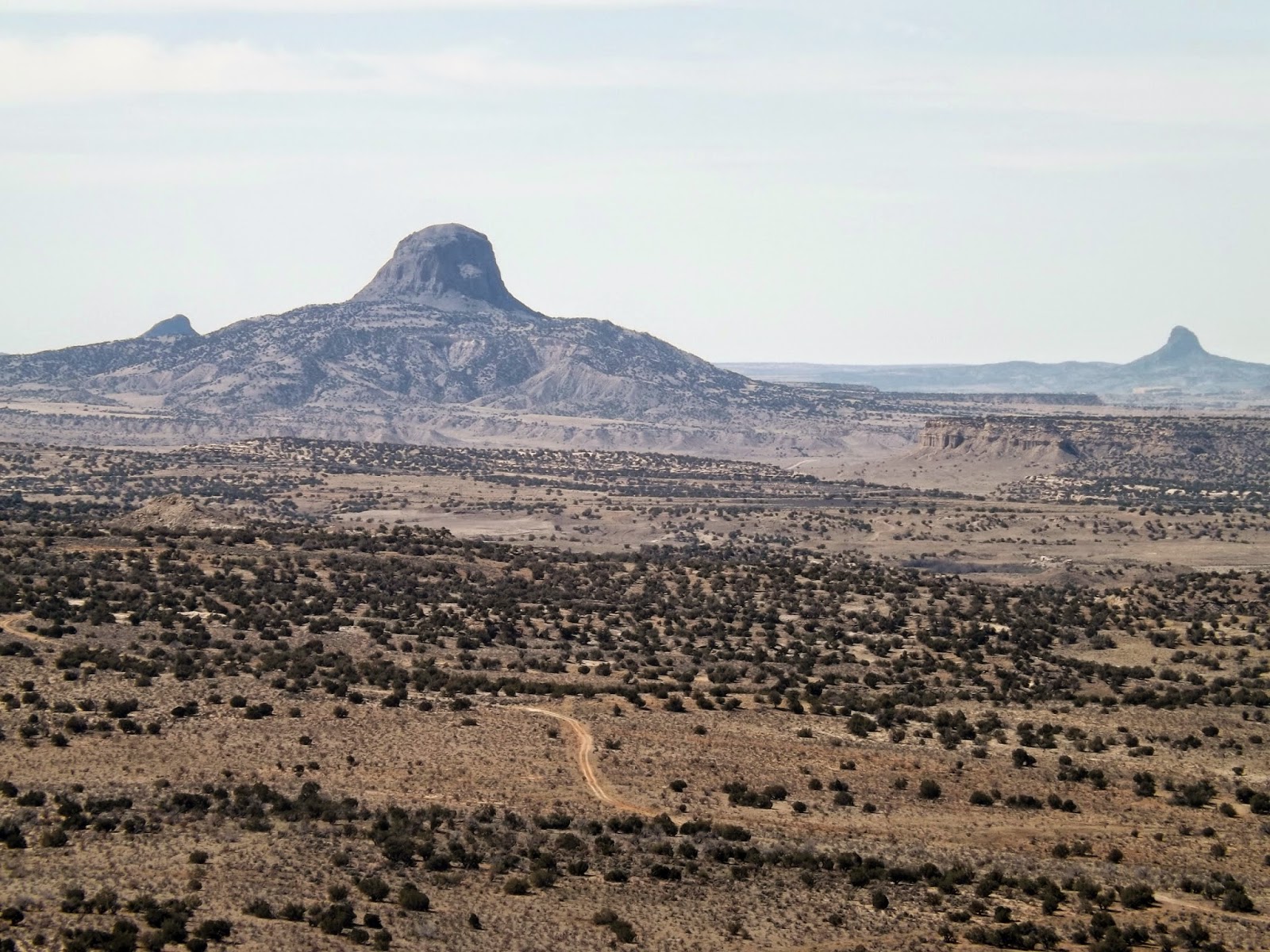
Cabezon Peak, left middleground, is only one of dozens in the area. This is starkly beautiful country. View is from the summit of the highest of the three Deadman Peaks.

Looking east from my summit climb. One of the lesser Deadman Peaks in the foreground. In the center middle ground is the highest of two Cerros Colorados, at 7051'. We hiked up to the saddle just left of that center peak, seen as a grassy line connecting to the flatter mountain in behind Deadman Peaks.

Looking far back down to our parked car from the summit of the highest Deadman Peak.

Rest point on the Divide Trail.

Deb looks over the distant landscape from the Divide Trail. We extended our walk from the one given in our guide book. Cerros Colorados main peak in behind.

Rock formations near our parked car.

Driving back down to Albuquerque. Taken by Deb as we were driving, so there is a bit of window glare.
To be continued...
No comments:
Post a Comment