Monday, 4 November 2024

New Mexico Trip #39, Part 5: Albuquerque and the Path To Home

 This is Part 5 of a five part blog.  To begin at Part 1, scroll down or click on "Older Posts."
 
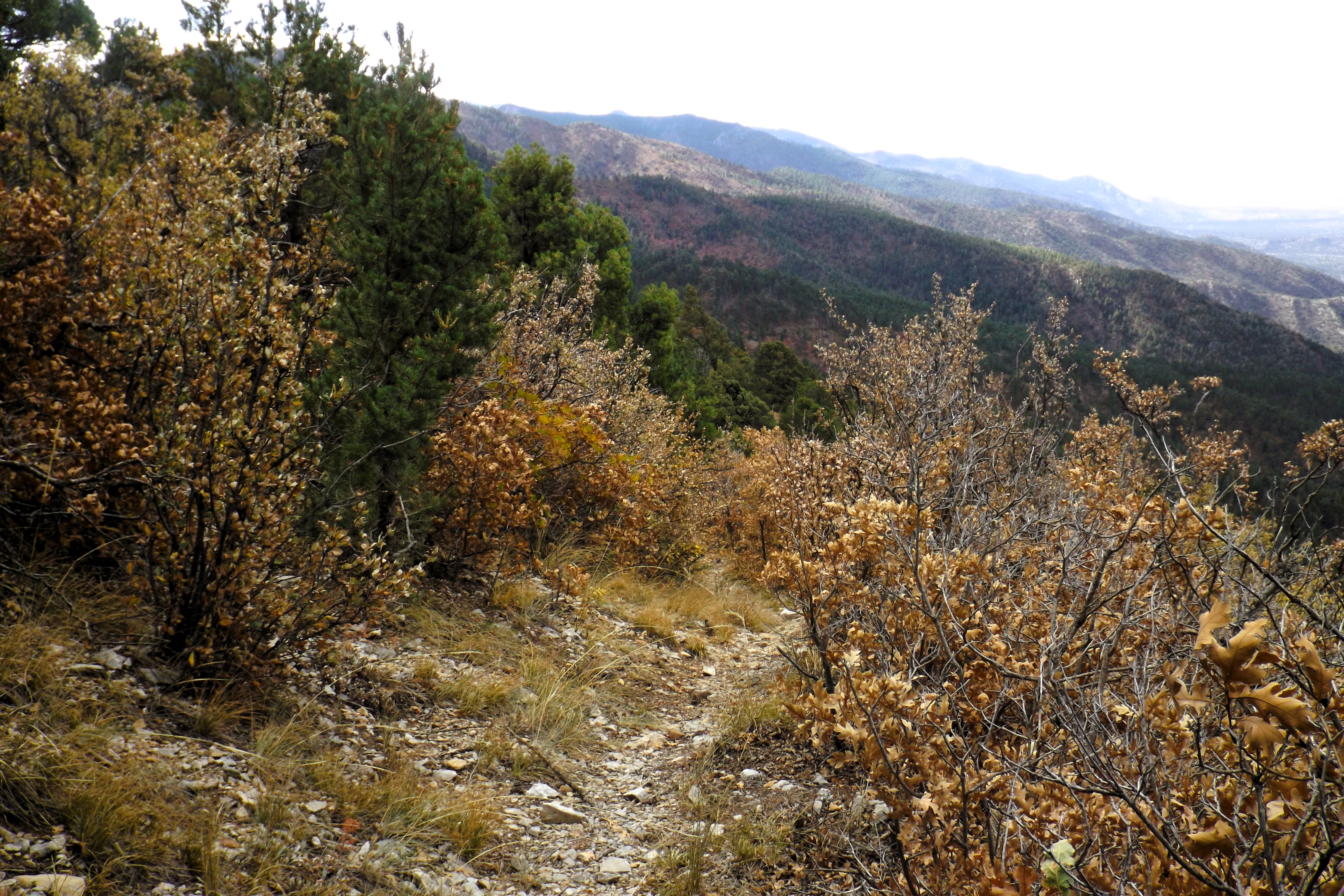
We had a Friday afternoon and all day Saturday to visit our old stomping grounds.  It was in Albuquerque that I decided to abandon my plans for a final gigantic hike.  I had hoped to make an attempt on a high northern peak called Jicarita.  But the area had been badly burned a few years ago, and recent reports from hikers talked of a lot of mud along the trail.  Climbing 3000' and walking 13 miles is difficult enough without heavy mud clinging to one's boots.  And I didn't relish the thought of walking through a large burn scar, especially as my memories of a better time here are still fresh in my mind.  So with the final hike called off, we decided to head for home a day earlier.  We would still be gone for 15 days, long enough for a pianist who needs to practice regularly, and a filmmaker eager to begin her next project.
 
Saturday morning it was raining, and a perfect opportunity to visit the Albuquerque Museum.  Street parking was free right in front!  We spent a happy hour or two rambling through the 7 galleries.  Some only took a few minutes, but others had some intriguing art on the walls and on the floor, and we lingered long in some areas.  Afterwards it was on to our happy place in town, Marble Brewing.  We enjoyed a flight of six sample sizes, three of which were pumpkin ales!  I left with a six pack of some truly wonderful dark pumpkin ale.  Lunch was at Anapurna, then it was back to the hotel for a brief rest.  This was the first time since the start of the trip that we were able to have a relaxing rest in the p.m.  Afterwards it was coffee at Flying Star, in the Nob Hill area.  Then Tractor Brewing, for a lovely outdoor sit and sip.  Our final stop was La Montanita Coop, where we bought our supper to go.

We awoke to a rainy Saturday morning.  View is from our hotel window.
 
View of the Sandia Mountains from our hotel window.  I could lie on the bed and see the mountains.
 
A sculpture made from neck kerchiefs at the Albuquerque Museum.
 
Recent Native pottery, Albuquerque Museum.
 
A favourite of ours at the Albuquerque Museum.
 
Small sculpture, Albuquerque Museum.
 
Large painting of a coyote, Albuquerque Museum.

Our flight at Marble.

Inside Marble Brewing, Albuquerque.

Tractor Brewing.  After getting our flight, we sat outdoors.
 
Our flight at Tractor.
 
We left Albuquerque Sunday morning.  We were to spend one more day in New Mexico, rather than hurrying home.  We made stops in Moriarty, visiting a large antique store.  Inside we found Turquoise Brewing, recently moved from Albuquerque.  So we had a flight there, and a long chat with the owner/brewer.  We eventually moved on to Santa Rosa, where we paid a quick visit to Blue Hole, an artesian well with considerable depth, enough to attract hosts of scuba divers.  It was pretty quiet here today.  We found a small open air market on the courthouse grounds.  We were able to purchase coffee from a small pink trailer, and I purchased a jar of jam from a vendor.  Then we moved along to Tucumcari, where we spent the night.
 
Blue Hole and some of the interesting surrounding rocks.  This is located in Santa Rosa, NM.
 
Monday it was time to hit the trail for home.  We were on small highways all day, with one major stop in Dodge City, Kansas.  We had coffee here (their brewery is closed Mondays) and visited the train station, which once housed a Harvey House hotel and restaurant.  We have passed through Dodge 4x on Amtrak.  It was fun to actually get to visit the station in daylight.  After Dodge we continued northeast, spending the night in Great Bend, Kansas.

The actual Gunsmoke TV series purportedly takes place in Dodge City.  James Arness and other stars have their imprints and names on a city sidewalk.

Red Beard Coffee in downtown Dodge City.  Red Beard himself was the barista today.  His father was roasting a batch, and we could follow our nose to the cafe.

Statue of Wyatt Earp, a US marshal here in the good old days.

Exterior view of the Santa Fe rail depot in Dodge.  It once housed a Harvey House Hotel and restaurant.

A classic prairie scene.  These old kinds of grain storage buildings have all but disappeared now.
 
We left Great Bend next day, aiming for Columbia, Missouri, a favourite town of ours.  But we made a stopover in Salina, Kansas first.  I had visited solo here several years ago, and wanted Deb to see the downtown.  The town has improved even more, and we enjoyed our walk along Main Street.  We found a large and excellent bookstore, and were greeted by a very friendly pooch.  Books were purchased.  The major old theatre has been restored and was back in business.  The tiny independent cinema was still alive, as was the brewery (closed in the a.m).  One of the main features of the downtown are the public sculptures, which were completely different than the ones from my visit.  Apparently they change them around occasionally!

Historic Watson Theatre, downtown Salina, KS.  As we were standing there admiring the building a man came up to us and identified himself as the guy who sandblasted the upper part of the tower.  Well done!
 
Columbia, MO has a small but thriving downtown, and is home to a major university.  Lakota Coffee was our first stop before moving on to Broadway Brewery for a flight.  Then it was off to Flatbranch Brewery for a flight and some dinner.  We walked around downtown for a while, revisiting a favourite store called Peace Nook.  We bought more books.

Lakota Coffee, downtown Columbia.
 
The taps at Broadway Brewing, Columbia.


A favourite pub of ours!  Their green chile beer is superb.

Flat Branch tap list. 
 
Next day we drove to Lafayette, IN.  Deb was quite ill today, so we missed out on a vegan restaurant and a brewery in the little downtown.  That's twice now.  Maybe the third time we'll get lucky here.  The final day saw us arrive home around 3:30 pm, in time for coffee.  We had purchased a lot of beans on the trip.

Plans are in the works for next year's adventure, with the Arizona high point being my major goal.  See you then!

Some of our journey's acquisitions.  That doll in his underwear has a story to it. 
 
Thanks for stopping by.  Feel free to leave some comments.
 
Mapman Mike


Sunday, 3 November 2024

New Mexico Trip #39, Part 4: A New Mexico Hike

This is Part 4 of a five part blog.  To begin at Part 1, scroll down or click on "Older Posts."
 
We had a leisurely drive north to Mountainair from Carlsbad.  We had stops in Artesia and Roswell.  Artesia, on our last visit many years ago, was a a dusty nothing of a town.  It is the setting of the David Bowie SF film The Man Who Fell To Earth.  Today all that has changed.  It has a very attractive hotel downtown, restored and expanded, as well as a main street lined with shops and eateries.  We visited an antique store, as Deb was looking for some items for her next film project.  We will be happy to return someday to this bustling little prairie town.  Further north, Roswell has gone alien crazy since our last visit, which was again many years ago.  Everything now has something to do with aliens.  We stopped downtown for more antique browsing, as well as for lunch.  It was a sunny, beautiful day on our visit.  However, in two days from now Roswell was to endure their worst flooding ever.  Two people were killed and several dozen rescues took place.  Many of the downtown stores lay in ruins.
 
Our destination was Mountainair, a small village that lies along US 60, and is also adjacent to the busiest portion of the national railway (freight only).  Trains pass through town about every 10-20 minutes, all day and all night.  We chose a vintage hotel for our stay Thursday night.  The Schaffer hotel was opened in 1923, and is featured in many books on historic hotels.  Staying here was an experience we will never forget.  The room itself was tiny and quite pathetic, but the bathroom was large and very impressive.  To check in we had to call a phone number listed on a sign in the window.  The owner then gave us a code to open the front door.  We were told to go up to Room 6, which was unlocked.  The key was in the room.  We were to leave the key and $80 in the room when we left, leaving the door unlocked.  At first we were all alone in the hotel, which is quite large with about 18 rooms.  We had eaten in the dining room years ago, but never stayed overnight.  It is worthwhile to look up photos of the Schaffer Hotel, to see how remarkable this place really is.  The dining room ceiling may not be equivalent to the Sistine Chapel, but it's pretty fine.  Sadly, I took no photos.  The lobby is large, has a high ceiling, furnished comfortably, and has original art on the walls.  I spent some time here in the evening writing up my notes.  The restaurant was closed today.

Next day was our hike in the Manzanos (Apple) Mountains, our only hike in NM this time around.  We have done three previous hikes here, as we try to complete the "Crest Trail," which follows the top of the mountains.  Today's hike would be different, though, as we would drive to the summit and then hike down to a trail junction we had used on our last hike here, again many years ago.  The lower forest had some fall colours, but the upper altitudes were in decline.  The mountains had been closed for several years due to a massive fire all along the east side.  The devastation left us stunned today as we drove upwards.

The lower part of our ascent was quite beautiful.  It wasn't till we got a bit higher that we first saw the burned areas.
 
This is what we saw as we began to climb.  This was once a beautiful pine forest.  Yes, it is a colour photo....
 
The hike today was down and back up the same way.  Round trip was 6.3 miles.  I dropped from a start of 9243' down to 8240'.  As usual, though, it wasn't all downhill for the first part, meaning that I had some uphill battles on my way down, added to my expected ones coming back.  I ended up doing about 1220' of elevation.  Deb walked the first mile with me before stopping to rest and turn around.  She ended up doing about 650' of elevation.  Let her tell you the story some time of how she accomplished it.

The descent, first mile.
 
The first 1.9 miles is closed-in forest.  Views begin to open up at that point.
 
The crest trail is marked by cairns, and is more open than the forested portions.
 
On our last hike from the junction I was attempting to reach we had climbed all the up that mountain in the background.  Today we had left pretty much from the same height, so a major climb awaited my return.
 
The trail junction is on a saddle between two mountains.  This is the view from that saddle, looking southwest.  The distant Magdalena Mountains are also a favourite hangout of ours.  it was a windy day again, so views were hampered by blowing dust.
 
The terminus for today's hike, my 2nd visit here.  After a short break for water and some refreshment, it was time to turn around.  It took me about 1 hr 35' to reach here, and much longer to get back up.
 

Heading back to high country. 

Tired of long views?  Here is a close one.
 
And another close one.

After the main hike I dragged myself up the gated road to the fire lookout atop Capilla Peak.  This was to be my highest point for this journey, more than 3,000 lower than original plans entailed.

It was extremely windy today, with the pine trees roaring.  My stay aloft was brief.  The Sandia Mountains near Albuquerque are in the middle, background.
 
 
This shows our progress to date in the Manzano Mountains of NM.  The most recent hike was the south one, a long line, plus the mini trek to Capilla Peak.
 
After this we had a two night stay in Albuquerque planned.  The rest of the road trip, including Albuquerque, can be found in Part 5, the final segment of this trip blog. 

Mapman Mike


Saturday, 2 November 2024

New Mexico Trip #39, Part 3: More Texas Hiking

This is Part 3 of a series.  To begin at Part 1, scroll down or click 'older posts'.
 
The Texas State highpoint is Guadalupe Peak, in Guadalupe National Park.  The hike to the top is 8.6 miles return, with an elevation gain of just over 2900'.  It is a knee breaker and a foot cruncher, one of the three most difficult hikes I have ever undertaken.  Luckily it is also a highly scenic trail, so that no matter where one stops to gasp for air, the views are remarkable.  At 8751', it is hardly a high mountain, at least by New Mexico comparison.  But it towers more than 5,000' above the plain and salt lakes below.  Altitude was not a problem for me until I reached the 8,000' level.  Then the breathing became even more difficult, and my short breaks on the upward bound portion of the hike became a bit longer.  The trail is rocky and very hard on hiking boots.  It is also very steep, especially the first 1.1 miles.  The final push to the summit is also steep, and about 0.5 miles long.  On the way down the knees really take a beating.  I was fully prepared to hike part of the way, enjoy lunch and the views, and then come back down.  I never really realized just how stubborn I am until this hike.  It took me 3 1/4 hours to reach the summit, where I stopped for 30 minutes.  There were a few people up top with me, and I met more coming up on my way back down.  Overall, it is a spectacular but difficult hike.  However, all the training paid off.  I expected the worst next day, but actually I was fine!
 
My route to Guadalupe Peak,
from our GPS route on Google Earth.
 
Near the start.  That peak way up on the right would haunt me all the way up.  I had to actually get higher than it.  Rather a daunting task from below.

Much higher now, but still beneath that damned peak.

Looking back to the parking lot, now far beneath me, and some switchbacks I had done a very long time ago.

Sometimes the trail edge was downright forbidding. 
 
The trail winds ever upward...

...and sometimes downward.  Background top left shows the already hiked trail descending to a bridge across a chasm, before climbing again.  Finally I am on the correct mountain.

Another view of that upbound trail descending to a small bridge.
 
Arrival!

Salt Lakes are more than 5,000' below me.
 
This is a photo from many years ago, taken from the salt lakes looking up.  Guadalupe Peak is hidden in clouds.  El Capitan sticks out on the far right.

Looking down at El Capitan, a prominent peak when seen from below.

The haze was terrible today.  I had hoped to see some distant NM mountains, but no luck.

Finally higher than that peak I looked up to all the way here!
 
The Guadalupe Mountains were once a coral sea.  At my shady lunch spot I found some fossilized coral!

Looking back at my starting area, from the summit.  The parking lot is hidden by foreground peaks.

On my way down, a close shot of that bridge.

A look back at Guadalupe Peak.  Trail switchback visible on left, centre. 
 
Descending trail view, one of the few level parts.

A few parts of the middle trail were not that steep.

There weren't many flowers, or autumn colours, on this hike.

Still a long descent ahead.  The knees have mostly had it by this time.
 
From Google Earth, looking at my hiking path to Guadalupe Peak from the mountain across the valley.

DEB'S PHOTOS 
 
Deb chose lower elevation hikes today, and explored many different areas of the park.  Here are some of her photos from her walks.


The photographer. 
 
Mapman Mike